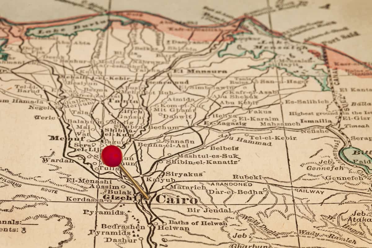
The Ancient Egyptian Desert Map: A great economic and scientific wealth
The desert area in Egypt is larger than the total area of the desert. As the desert covers approximately 90% of Egypt’s total area, its land area is almost 10% according to the Ancient Egyptian desert map.
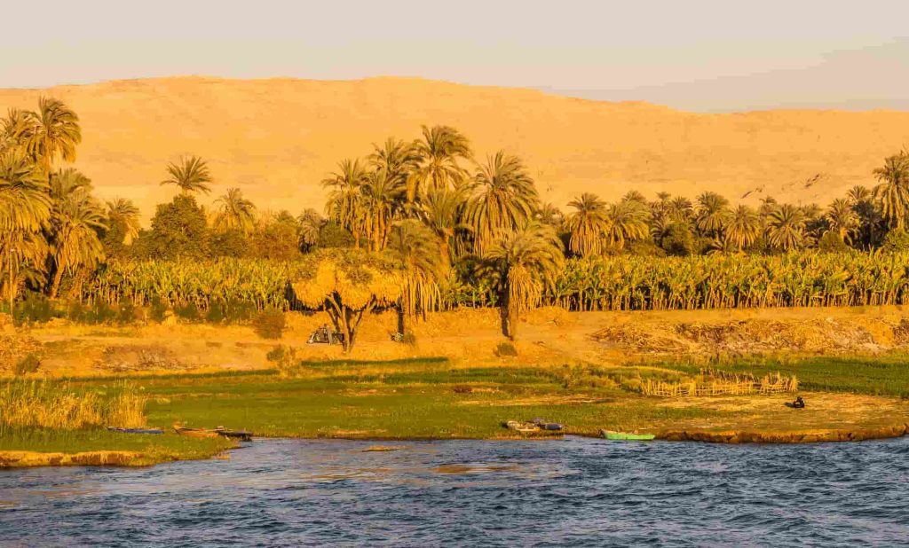
Egypt is one of the oldest civilizations on Earth, as humans first arrived on the banks of the Nile and began farming and raising livestock approximately 10,000 years ago.
Egyptian Desert Map
Characteristics of the Ancient Egyptian Desert Map and Environment
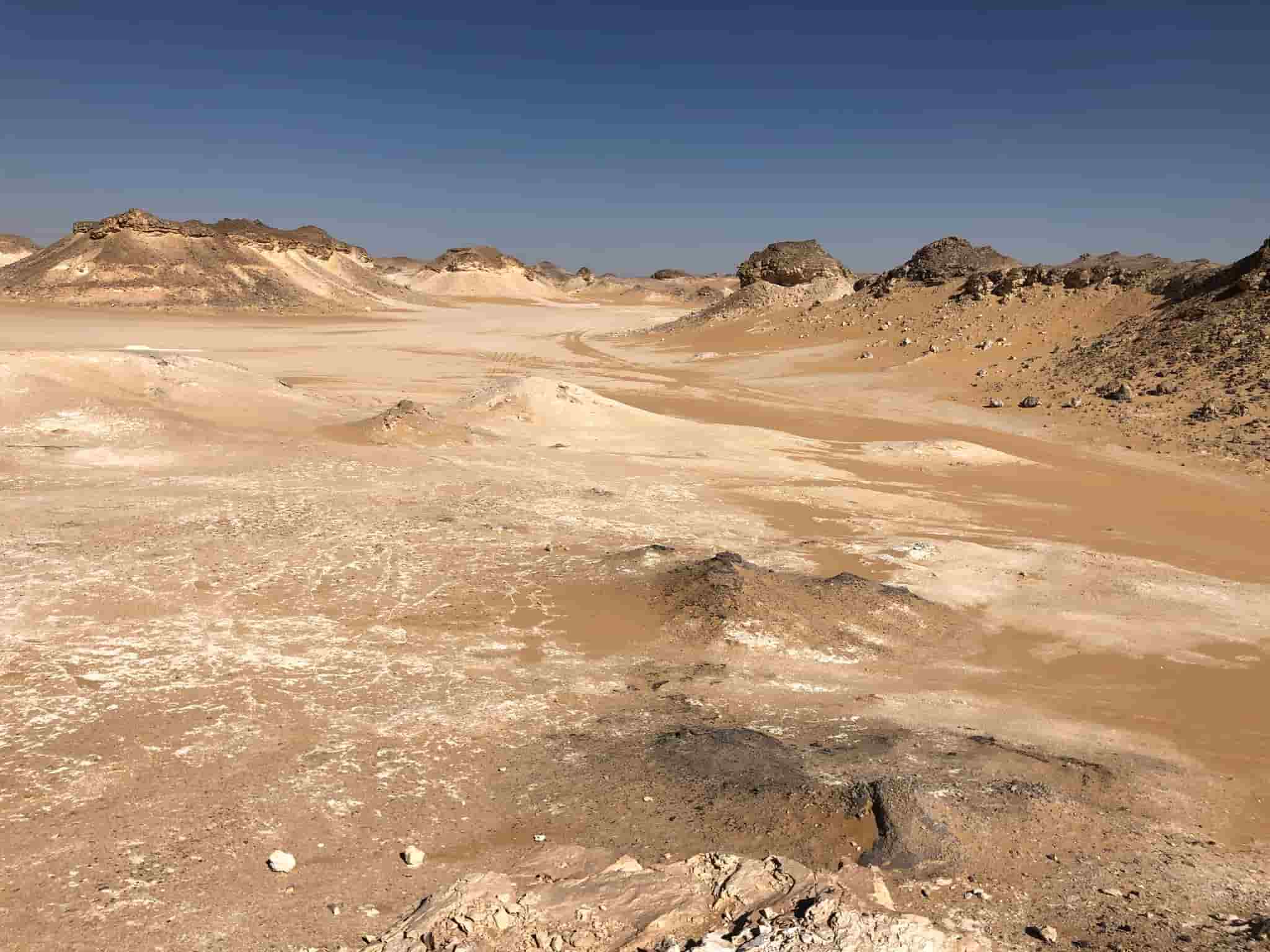
The natural characteristics of the desert environment were characterized by scant rainfall, drought, a severe lack of vegetation, and a scarcity of animals. Economic activities are diverse due to the diversity of natural resources. There are water resources, such as wells and springs, and a labor force that facilitates the development of herding, agriculture, and handicraft industries.
Agriculture in the Ancient Egyptian Desert
Agriculture in the Egyptian desert
Agriculture is in the desert environment in the desert depressions such as Siwa, Bahariya, and Kharga. The most important crops are food grains such as wheat and barley; tree plants such as palm trees, olives, and apricots; and medicinal plants, which are used to treat certain diseases. All of them were in the Egyptian deserts. The most famous of these is the harjal plant, which is used to treat the digestive system. Also, the halfa plant, which is used to treat colds. Finally, the arak plant is used in the manufacture of toothpaste.
Herding in the Egyptian Desert Environment
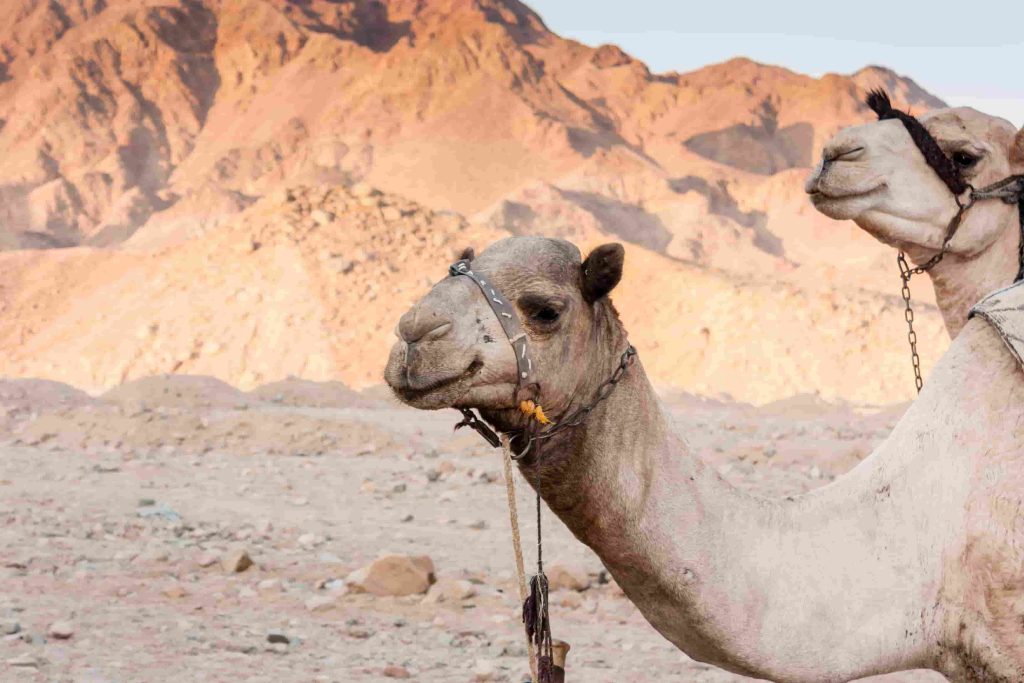
Herding in the Egyptian Desert Environment.
Herding is northwestern Western Desert, Sinai, and the valleys of the Eastern Desert. The Awlad Ali tribe in the Matrouh Governorate in the Western Desert and the Ababda tribe in the Eastern Desert are the tribes that practice herding. There are many animals, such as goats, sheep, and camels, which give meat, milk, hides, and wool.
Minerals in the Egyptian Desert
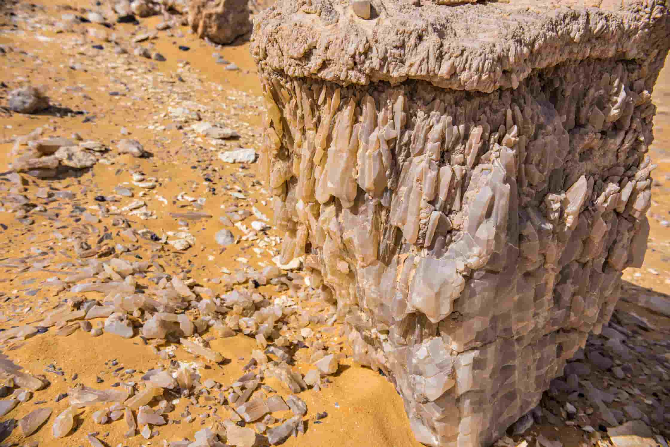
Quartz formations in the Sahara desert
Mineral extraction from the ground: The most important minerals in the desert include iron, found in the Bahariya Oasis, east of Aswan, and the Eastern Desert. Also, manganese in the Sinai Peninsula. In addition, phosphate is in Qena, the New Valley, and on the Red Sea coast between Safaga. Finally, tin and gold in the Eastern Desert in the Red Sea Mountains.
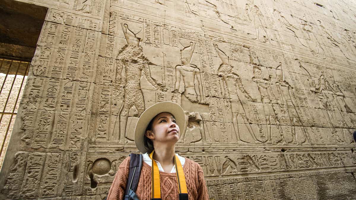
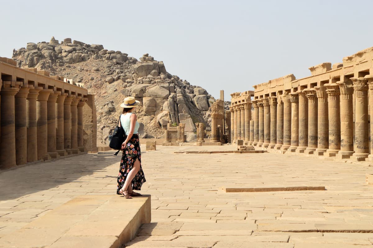
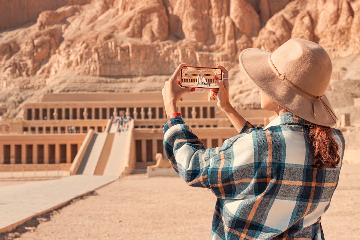
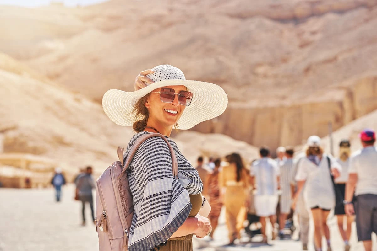
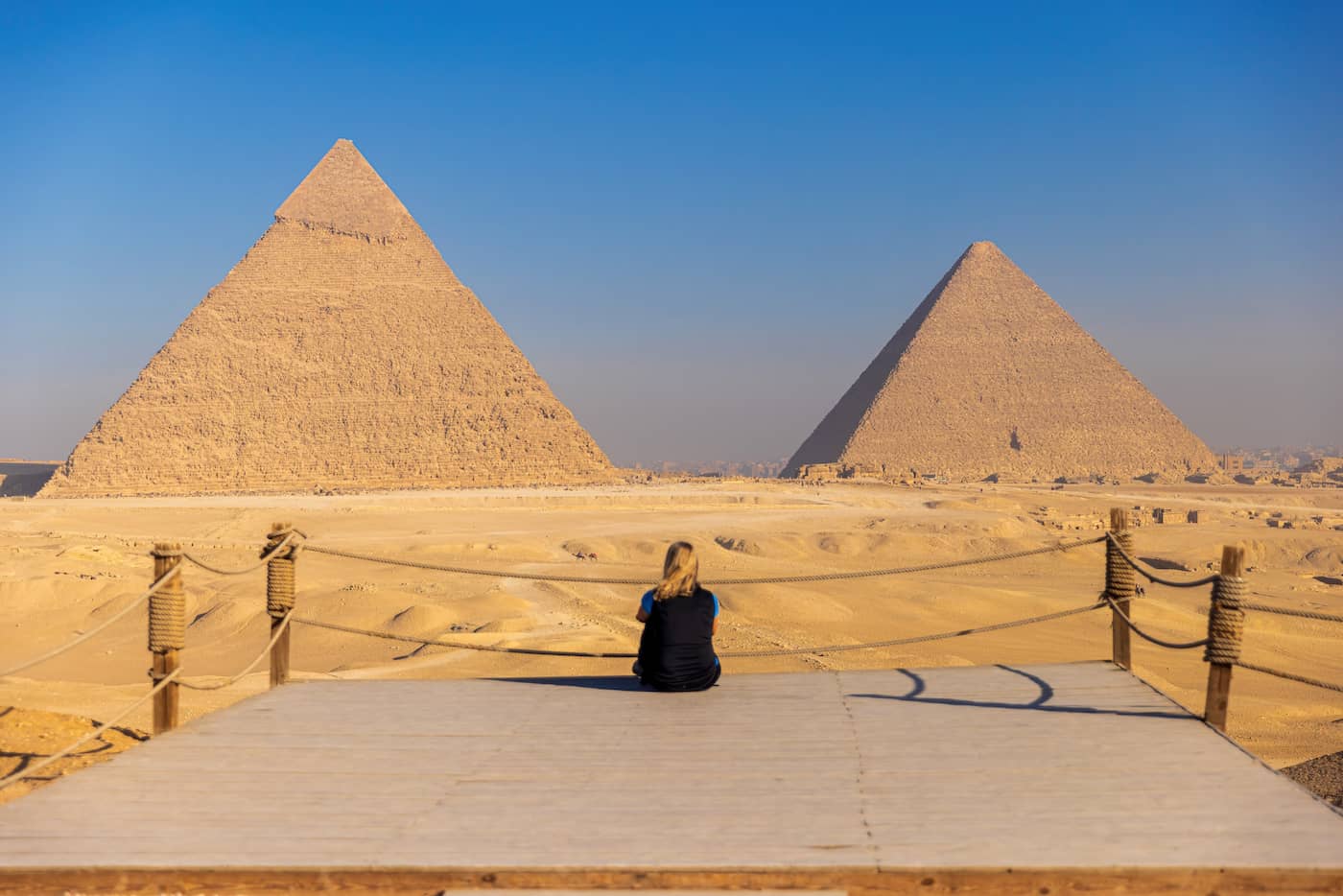
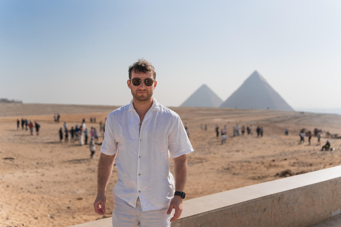
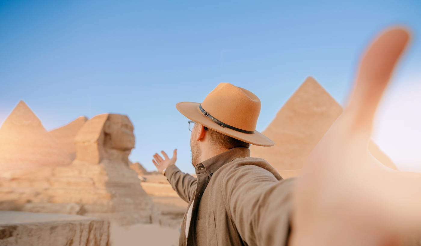
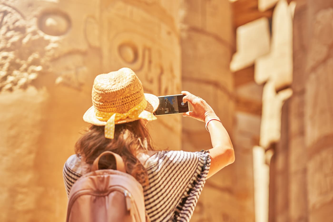
The Spread Of Tourism
The growth of tourism in the desert includes the rich flora and fauna, such as mountain sheep, and the picturesque landscapes that attract tourists for safari tourism. There are also numerous tourist attractions, such as St.Catherine’s Monastery and Mount Moses in Sinai.
There are facilities, hotels, and tourist camps, that roads for tourism services. Safari tourism is a form of tourism that involves wandering through deserts and mountainous areas to return to life in nature.
Kinds of deserts in Egypt:
1- The Western Desert.
Western Desert Egypt
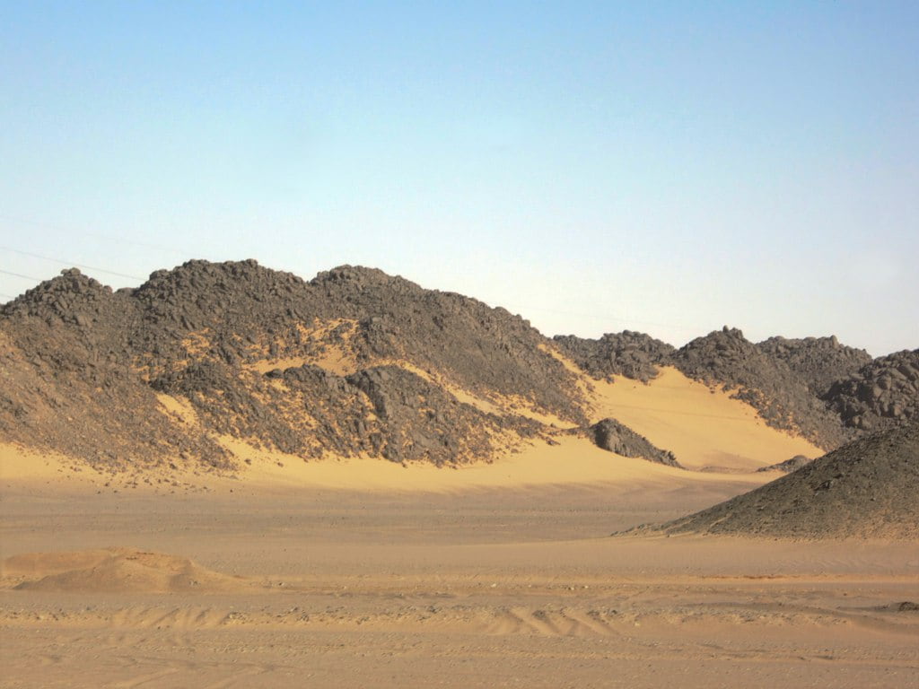
The Western Desert of Egypt is a region of desert that extends west of the Nile River to the Libyan border and south of the Mediterranean Sea to the border with Sudan. Its name was in contrast to the Eastern Desert, which extends east of the Nile River to the Red Sea. The Western Desert is mostly rocky, except for the Great Sand Sea to the west near the Libyan border.
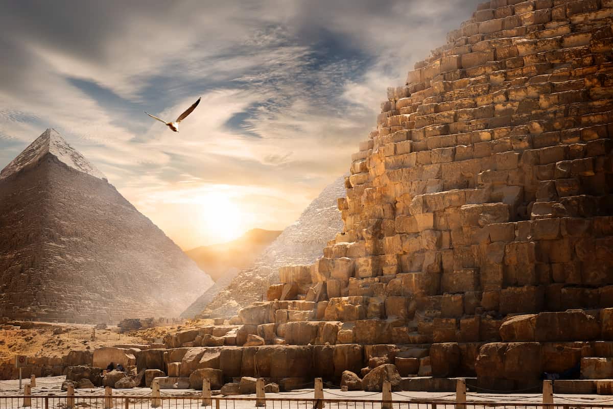
The Egyptian Desert Map shows that the desert is 262,800 square miles (680,650 square kilometers), two-thirds of the country. It is 3,300 feet (1,000 m) on the Egyptian-Sudanese-Libyan border. The Western Desert is arid and sparsely populated, except for a series of oases extending from the Siwa Oasis to the Kharga Oasis in the south. The Western Desert has been the scene of conflict recently, particularly during World War II.
The Name of the Western Desert in Egypt
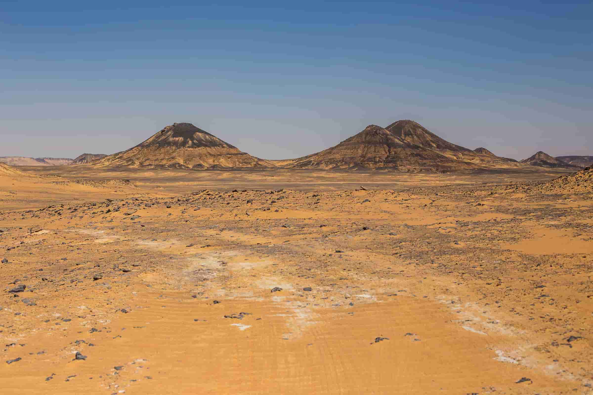
Black desert
The Western Desert also has another name, which is the “Libyan Desert,”. It takes its name from ancient Libya, which lay between the Nile and the Emirate of Cyrenaica. The term “Western Desert” describes that part of the desert in Egypt, with the establishment of the modern state of Libya.
The Western Desert is a vast area, 240 miles wide and 150 miles long, according to the Ancient Egyptian desert maps. During World War II, the term “Western Desert” was popular to all areas of conflict that extended beyond the border between Egypt and Libya, to Ain Ghazala, Cyrenaica, and even El Agheila.
The modern usage of the term refers to all the desert areas within Egypt’s borders west of the Nile River.
History of this desert
All believed that the Western Desert had been a semi-arid grassland in prehistoric times. It has animals, savannah grasses, and hunter-gatherers. There is evidence of wildlife and surface water in cave paintings at Gilf Kebir. Occupation was then restricted to oases, as evidenced by artifacts dating back to the pre-Egyptian period, when the region was under the Egyptian kingdom.
Egyptian artifacts exist in all oases. With the incorporation of Egypt into the Roman Empire, the desert region consisted of the provinces of Lower and Upper Libya. They were succeeded by the Muslims, the Fatimids, the Mamluks, and the British.
The Western Desert was a battleground in the 20th century. It was the site of the Senussi Campaign in World War I. The 1930s saw a boom in exploration and mapping of the desert by British Army officers such as Ralph Painold and Pat Clayton, laying the foundation for military operations. They conducted extensive research on the “Zarzura Oasis,” a legendary oasis in the deep desert.
The Development of The Desert:
The Western Desert has long been a focus of development in Egypt. It begins with the Tahrir Agricultural Reclamation Directorate projects in the far northeast of the Egyptian desert, near the Rosetta Branch and the Kharga Oasis, in 1958. These initiatives expanded to include the Toshka and New Delta projects in the north rely on Nile water and groundwater. The East Uwaynat projects in the south, and the Sanabel Sono and West Minya projects, both of which rely on groundwater, also came together.
These land reclamation projects coincided with the establishment of new urban communities, such as the villages of Badr Center in Beheira Governorate, and the establishment of first-generation urban communities: Sadat City, 6th of October City, and New Borg El Arab.
The construction of these cities was accompanied by land reclamation, but they distinguished themselves from the villages of Badr Center by their focus on service and industrial functions rather than agricultural ones. Two second-generation cities, New Nubaria and Sheikh Zayed, were also built in the Western Desert. While third-generation cities, New Aswan and New Sohag, were also built.
The greatest expansion occurred in the fourth-generation cities. Currently, the cities of New Nasser, West Qena, October Gardens, New 6th of October, New El Alamein, New Fashn, New Mallawi, and New Sphinx are being built. It is noted from the above that most of the urban development has been along the northern and eastern edges of the desert, with urban projects in the desert itself being limited to the failed Kharga Oasis project and a few small villages in the Farafra Oasis.
2- The Eastern Desert
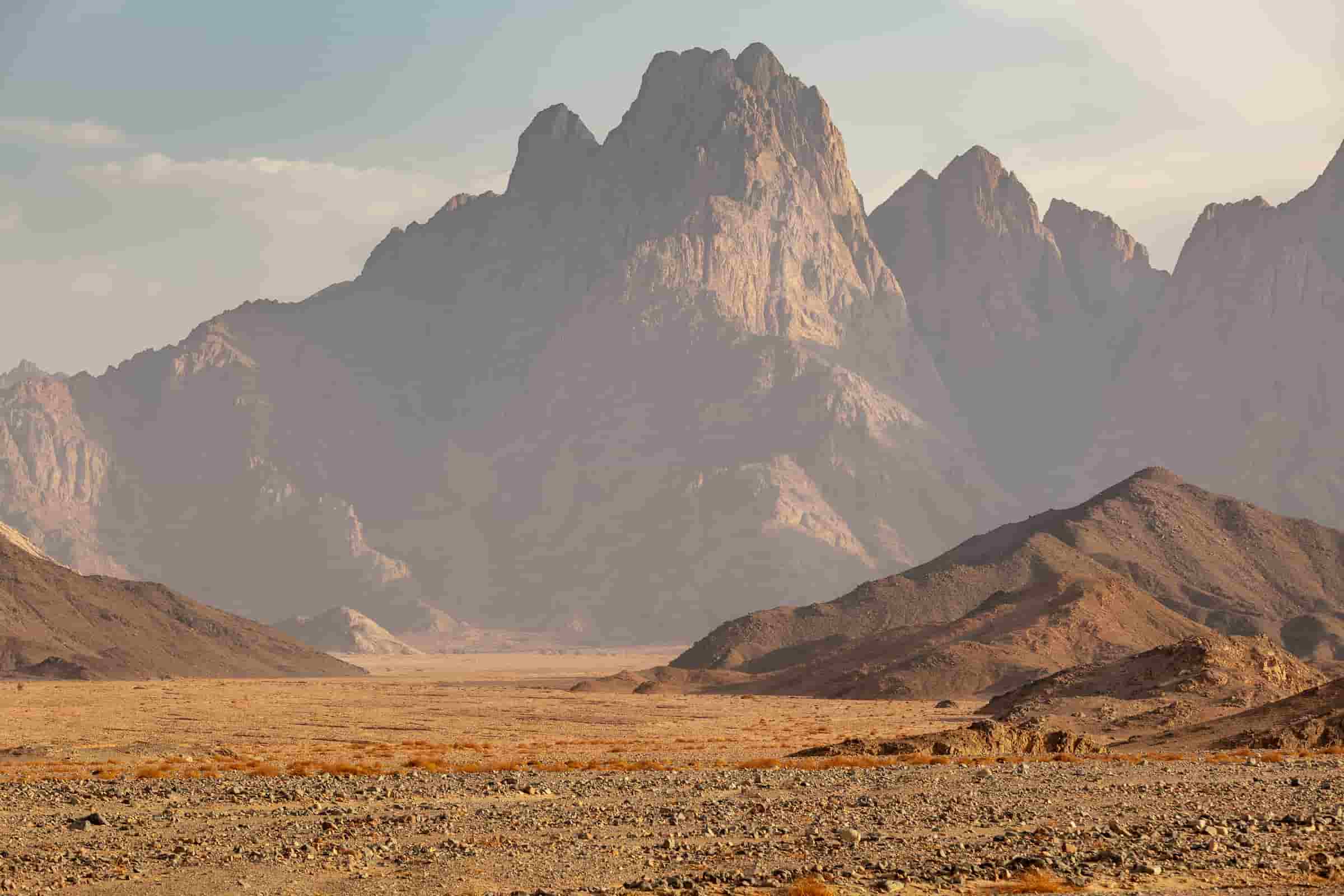
Eastern Desert Egypt
The Eastern Desert is part of the Sahara Desert, located east of the Nile River. It covers an area of 223,000 square kilometers (86,000 square miles) in northeastern Africa. It is bordered to the west by the Nile River and to the east by the Red Sea and the Gulf of Suez. The desert extends across Egypt, Eritrea, Sudan, and Ethiopia.
The Eastern Desert is a mountain range parallel to the coast and broad sedimentary plateaus extending along the sides of the mountains and the Red Sea coast. Rainfall, climate, vegetation, and animal life in the desert vary between these different regions.
The Eastern Desert has been a mining site for building materials, as well as precious and semi-precious metals. It contained many trade routes leading to and from the Red Sea, including the Suez Canal.
The Strategic Importance of the Eastern Desert:
It has been the site of many conflicts, the most recent of which was the October War, due to its geographical connection to the Sinai. For the ancient Pharaohs, it was a fortified wall against attacks from the other side.
Infrastructure of the desert:
Several similar desert roads connect the Nile Valley and the Red Sea Riviera. It is bordered to the east and west by desert roads connecting northern Egypt to its south.
Economic Exploitation
Mining activities are common, including gold mines (the largest of which is the Sukari mine), phosphate, quartz, perlite, and gemstones such as peridot and other aquamarine. It is also a major destination on Egypt’s tourism map. As there are safari trips are popular with tourists, there are also important ecological areas such as the Wadi al-Gamal-Hamata Reserve and Mount Elba in the far south.
3- The blue desert
Blue Desert Sinai, Egypt
The Blue Desert, or the “Blue Valley,” is a famous area for its distinctive rock formations. Belgian artist Jean Verame painted these rocks in 1980 to commemorate the 1979 Camp David peace treaty between Egypt and Israel. This treaty was a few kilometers southwest of Saint Catherine’s Monastery in South Sinai.
It is 14 square kilometers. It is along the road between St. Catherine and Dahab, in an area known as the “Halawi Plateau. Jean Verame was inspired by famous space paintings and executed the work with the approval of President Sadat.
He used 10 tons of paint to paint these rocks. It is a landmark in the Saint Catherine area and a popular tourist destination. Despite the fading of the color over the years, it still retains its blue paint today.
The History of The Blue Desert:
Jean Verame was a Belgian painter and was famous for painting rocks. He visited Sinai for the first time in 1978. The song “Don’t It Make Your Brown Eyes Blue was his inspiration.” The signing of the Camp David Accords inspired him to create this work in 1979. The Egyptian authorities painted the area blue as a symbol of peace.
A year later, Egyptian President Anwar Sadat gave the project official approval. Afterward, Verame arrived with approximately 10 tons of paint donated by the United Nations to decorate the rocks in blue, creating a natural landscape.
He completed his work over a year, covering 6.5 km of rocks and reaching a height of 9 meters. All the rocks were a light blue hue that has since faded to a light blue color.
4- The Great Stand Sea

Great Sand Sea
The Great Sand Sea, or the Egyptian Sand Sea, is a huge area of dunes. It consists of three sand seas in the southwest of the Western Desert. The Egyptian desert map shows that it is a 200 km wide area of soft dunes, with a 150 km wide tongue extending from the south of Siwa to the Jalu Oasis in Libya.
The great sand sea consists of layers of shifting sand over a layer of soft limestone and a large amount of groundwater, which explains the phenomena of sand movement like sea waves.
The History of The Great Sand Sea:
This area was known throughout history to many residents of the region, especially traders traveling on camelback across the desert. However, the first European to document the Great Sand Sea was Gerhard Rohlfs. He began his expeditions to the desert in 1865 and named the largest expanse of dunes the Große Sandmeer.
The dunes of the Great Sand Sea cover approximately 36% of the total area of the Western Desert. It covers almost 150,000 square kilometers. The sand appears in longitudinal baskets, some of which reach a thickness of more than 80 meters.
The Economic Importance of The Great Sand Sea:
Despite the presence of dunes, there is a tourism industry as tourists come to the area to watch the natural scenery and practice sand skiing. Beyond tourism, the region’s outskirts are suitable for solar energy production, with an average sunshine of 12-14 hours per day year-round.
5- The Nubian Desert
Nubian Desert
The Nubian Desert is in the eastern part of the Sahara Desert. It covers approximately 50,000 square kilometers in northeastern Sudan, between the Nile River and the Red Sea, according to Egyptian desert maps.
It is an arid region with a sandy, stony plateau. Nubians are the traditional inhabitants of the Nubian Desert. The Sudanese town of Al-Ubaidiya is the closest town to the Nubian Desert. The Nubian Desert has the endangered Argon palm, which exists currently only in rare cases in some oases within the desert.
6- Crystal Mountain
Crystal Mountain Egypt
Crystal Mountain is a unique hill. It has more than 12 types of crystal-like stones that merge to create a stunning natural appearance. It appears as a small arch of rocks that sparkle when the sun’s rays reflect off it, making it resemble a king’s crown decorated with thousands of colorful jewels in the middle of the Egyptian desert.
Crystal Mountain has the imagination and the lights at sunrise. Crystal Mountain is in the White Desert in the Farafra Oasis in Egypt. The mountain is one of the most wonderful natural areas in the White Desert. It is a mountain of crystal rocks and is unique. Moreover, the shiny crystal pieces are the most precious rocks in the world.
It has become one of the most important tourist attractions. It contains the most beautiful and enchanting views of the picturesque nature. This name comes from the large number of crystals that cover large areas of the mountain. These shiny crystals are the original diamonds, millions of years ago.
The mountain is famous for its location, history, unique and rare monuments, the quality of its rocks and shapes, and its warm, sunny climate.
The state declared this mountain a nature reserve around 2007. As some people began collecting the scattered pieces of crystal, which are the most expensive stones in the world.
Conclusion
The Ancient Egyptian desert map shows that the Egyptian desert was and still is one of the most beautiful deserts in the world. It has many benefits, natural scenes, fortunes, and tourist attraction places.